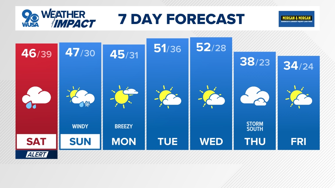
A Weather Impact Alert has been issued for Saturday from 6 a.m. to 6 p.m. for rain, heavy at times.
Topper Shutt, Kaitlyn McGrath, Miri Marshall
4:58 AM EST January 9, 2026
10:35 PM EST January 9, 2026
WASHINGTON — Three Things to Know:
- Rain Saturday and chilly
- Cloudy but drying out Saturday night
- Windy and colder Sunday with a p.m. rain or snow shower
Forecast:
Saturday: Cloudy and chilly with rain and showers, heavy at times. Highs: 44 – 49. Winds: NE 10.
Saturday Night: Mostly cloudy, drying out and chilly. Stray shower. Lows: 34 – 42. Winds: NW 10.
Sunday: Returning mostly sunny, windy and chilly, p.m. rain or snow shower and mountain snow showers. Lows: 47 – 52. Winds: NW 15 – 25.
Weather Conversation:
Widespread showers and rain will develop Saturday morning and continue throughout most of the day. We have issued a Weather Impact Alert Saturday for the rain from 6 a.m. – 6 p.m. Rain will be moderate to heavy at times with most areas picking up .50″ – 1.00″ of rain. Saturday continues to trend colder with high temperatures holding in the 40s. Heaviest rain will fall between 8 a.m. and 2 p.m.
A strong cold front will knock us back into reality with highs returning to the 40s Sunday. There will be mountain snow Sunday with a few rain and snow showers making it al the way into the Metro Area Sunday afternoon. It will also be quite windy to breezy Sunday into Monday, so plan on temperatures feeling colder than they actually are. Wind chills Monday at the bus stop will be between 15 and 25 degrees.
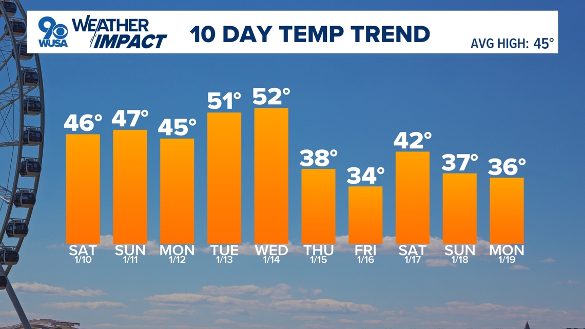
Colder days are ahead next week with highs mainly in the 40s. A storm will develop off the southeast coast Thursday and Thursday night that we will be watching very carefully as enough cold air will be available for winter precipitation if it moves far enough north and west.


Published Date : 2026-01-10 03:35:00
Source : www.wusa9.com
")
")